
¿Encontráis las diferencias? Si, quizás han pasado algunos años, pero estas fotos tienen algo en común: la ilusión de seguir desarrollando @miramon.cat, nuestro software de #teledetección y #SIG, y presentar sus últimas novedades al mundo.


¿Encontráis las diferencias? Si, quizás han pasado algunos años, pero estas fotos tienen algo en común: la ilusión de seguir desarrollando @miramon.cat, nuestro software de #teledetección y #SIG, y presentar sus últimas novedades al mundo.

Què hem pogut observar? 👇 🔥 1.800 ha cremades (menys que les 2.300 ha estimades inicialment) 🌳 67,1 %: alzinars i suredes 🌲 23,6 %: pinedes de pinastre i pi pinyer 🌿 7,4 %: matollars 🌾 2 %: conreus de secà, zones urbanitzades, etc.


A més, la investigadora Imma Serra (CREAF) va fer servir el navegador de mapes de MiraMon per explorar els efectes d'altres incendis, com el de Sentmenat o l'Anoia (Carme).


🛰️ I aquí és on entren en joc les eines: gràcies a satèl·lits com el #Sentinel2, al Mapa d'Usos i Cobertes del Sòl de #Catalunya i al programari de teledetecció i SIG #MiraMon, va ser possible obtenir la informació que buscàvem.


Do you want a teaser? Some sentences that I'm going to use: *Observations can be transformed into a digital twin of the atmosphere using AI interpolations *Thanks to STAplus, citizens can have a role as enables of the data flows from the real world and the digital world
GRUMETS@grumets.cat · 2mo agoAs Europe moves toward DestinE, Digital Twins and #AI powered Earth observation, where do communities and citizen science fit in? 🔴 TODAY, researcher @joanma747.bsky.social (@creaf.cat) tackles this question at a CLEAR-EO webinar. 📅 25th June 🕓 15:00 CEST 🔗 Join here: clear-eo.eu?p=653

Aquests són els 3 bits de #SIG que els investigadors Abel Pau, Catalina Roca i Joan Cristian Padró han presentat al 25è Fòrum TIG SIG #FTS2025: 1/ Interoperabilitat de dades al @miramon.cat 2/ L'eina InsolDia per calcular radiació solar 3/ Mapes reals impressos en 3D T'ho expliquem tot! 🧵👇


We’ve got exciting news! The more4nature newsletter is out now. Not subscribed yet? Now’s the time! 👉 Here: eepurl.com/iMQ-HY

From @grumets.cat we are proud of giving support to this publication that represents the Spanish Geographical Association. Thanks to the @uab.cat to host this publication from the geography department. I have published myself some notes in it such as: www.geofocus.org/index.php/ge...
View of Can we ask the same level of “FAIRNESS” to citizen generated data / ¿Podemos exigir el mismo nivel “FAIR” a los datos generados por la ciudadanía?
geofocus.org
GRUMETS@grumets.cat · 7mo agoJa està disponible el número 36 de la revista GeoFocus. 🎉🌍 Aquest 2026, GeoFocus celebra 25 anys amb un editorial signat pel seu fundador, el Dr. Antonio Moreno Jiménez. Aquest gràfic mostra l'augment notable en les citacions dels treballs publicats en el camp de les geotecnologies. Mireu! 📈


❄️ Així va quedar #Catalunya a la nevada del 5 de gener, just fa una setmana! I us preguntareu... Què és l'àrea blava? 🔵 És la NEU REAL☃️De vegades, a les imatges de satèl·lit, la neu es pot confondre amb els núvols 😶🌫️ Font: 🛰️ #Copernicus @grumets.cat 🔗 shorturl.at/SkjAZ
Metadata matters. Without it, data loses context and reliability. Tools like GeM+ simplify metadata creation and editing, ensuring quality and usability. The future of GIS? Smarter, more open, and more connected than ever 🚀 www.creaf.cat/en/articles/...

What is the future of geographic information systems?
Everything happens somewhere. Geographic Information Systems, or GIS, are tools that help us visualize, store, edit, and analyze any type of information that has a geographic reference, a position in…
creaf.cat
Why OGC APIs? They make geospatial data easier to access, share, and integrate, like IKEA for maps! 🌐 We say standards = interoperability. CREAF co-coordinates ILAF OGC to support Spanish & Portuguese communities in this transition.

During the annual meeting of the Iberian Conference on Spatial Data Infrastructures #JIIDE25, our team explored: ✅ Latest MiraMon updates ✅ Why OGC APIs matter for sharing geospatial data ✅ The importance of metadata and tools like GeM+ These trends are shaping the next generation of GIS.

We’ve been developing MiraMon for 30 years, a free, full-featured GIS that rivals #QGIS and #ArcGIS. 🛰️ It supports #remotesensing, #cartography, and #metadata management, making it a powerful tool for researchers and professionals worldwide. 🔗 Download MiraMon: www.miramon.cat/Index_eng.htm

🌍 What’s the future of Geographic Information Systems? Everything happens somewhere. #GIS helps us visualize, store, and analyze data tied to a location. But where is this #technology headed? 🧵
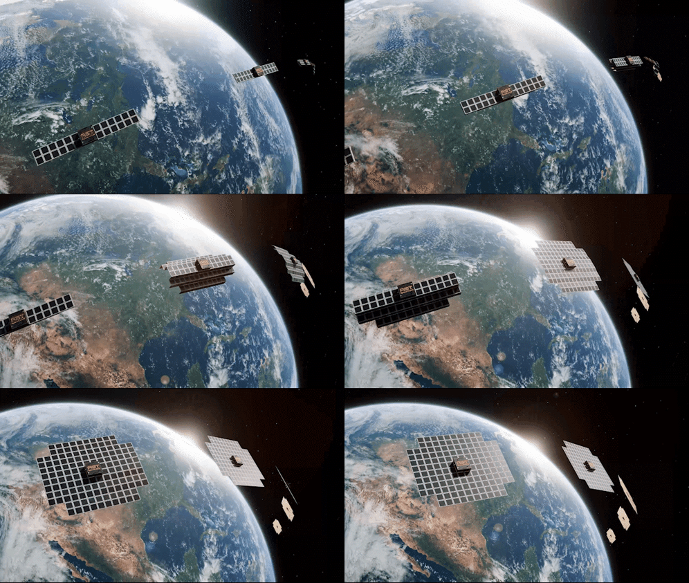
two satellites are flying over the earth and one of them says rs7
ALT: two satellites are flying over the earth and one of them says rs7
media.tenor.com
Do you see @citiobs.eu in the last October 2025 in Rotterdam organized by the @opengeospatial.bsky.social Pushing the Sensor things API WebSub


1️⃣ European Data Spaces are becoming closer to reality and will be central to the future of sharing Earth Observation data. Our researcher @joanma747.bsky.social leads an Action Group for the Green Deal Data Space with projects like: 👉SAGE 👉@ad4gd.eu 👉@citiobs.eu 👉@more4nature.eu

Other report “Guidance for strengthening citizen involvement in the management of nature in the Arctic” showcases a model that public authorities could use for establishing participatory local nature management with the support of citizens, in just 5 steps. 🔗 blog.more4nature.eu/news/arctic-...

Two new reports chart a way forward for participatory monitoring and management of living resources in the Arctic
The reports present examples of citizen involvement in nature management in the Arctic and set out a concrete framework for strengthening this citizen engagement.
blog.more4nature.eu
What is the key for successful participatory science? Two new reports published by the Nordic Council of Ministers present examples of citizen involvement in nature management in the Arctic and set out a concrete framework for strengthening this engagement. #CitizenScience 👇🧵1/5

🚨 Oferta de feina: #CiènciaCiutadana + #Dades + #PolíticaAmbiental El @creaf.cat busca tècnic/a de recerca expert/a en dades per impulsar la col·laboració entre ciutadania i autoritats al projecte @more4nature.eu. 🔗 Més informació i sol·licitud: creaf.factorialhr.com/job_posting/...

Would you like to help reshape how citizens and authorities collaborate on nature conservation? @creaf.cat is looking for a Research Technician experienced in managing citizen science data and passionate about connecting people, data, and policy for a more sustainable future.
GRUMETS@grumets.cat · 10mo ago🚨 Oferta de feina: #CiènciaCiutadana + #Dades + #PolíticaAmbiental El @creaf.cat busca tècnic/a de recerca expert/a en dades per impulsar la col·laboració entre ciutadania i autoritats al projecte @more4nature.eu. 🔗 Més informació i sol·licitud: creaf.factorialhr.com/job_posting/...
See the reference to a paper about the Green Deal Data Space recently published as an effort of the @ad4gd_project lead by my colleague Kaori Otsu. www.linkedin.com/feed/update/...

📃📃 #Digital #Twins for Research and Innovation in Support of the European #GreenDeal Data Space: A Systematic #Review | Remote Sensing MDPI posted on the topic | LinkedIn
📃📃 #Digital #Twins for Research and Innovation in Support of the European #GreenDeal Data Space: A Systematic #Review ✍️ Kaori Otsu and Joan Maso 🔗 https://brnw.ch/21wUWwN
linkedin.com
Summer reading? We've got you covered! 😎 Learn how we are advancing towards collaborative environmental #compliance assurance: insights from 20 case studies, a method to co-design citizen & community-led actions and tools that turn data into policy indicators. 👉 blog.more4nature.eu/news/more4na...

Moving more4nature forward: highlights from our face-to-face meeting in Barcelona
Discover how more4nature is triggering transformative change towards collaborative environmental assurance. Check our Barcelona meeting highlights!
blog.more4nature.eu
Poster of a @opengeospatial activity in #testbed20 presented in the #lps2025. Geoheif. @CREAF_ecologia @grumets_UAB

Organizing a two day free event close to the #esa living planet symposium about the @HorizonEU Green Deal Data Space. While we will continue wrapping up, it is the final @ad4gd_project event!. Please come on Tuesday and Wednesday. actiongroup.greendealdata.space/gdds_event.htm

GDDS: Three Years of Experience in EuroGEO
Join the event in Vienna on innovative data governance and tools for the Green Deal Data Space.
actiongroup.greendealdata.space
 All Data 4 Green Deal@ad4gd.eu · last yr.
🚀 Curious about the future of the Common European #GreenDeal Data Space? #GDDS Join us in Vienna on June 24–25 for a joint event with AD4GD, B-CUBED, FAIRiCUBE & USAGE — close to the @esa.int #LivingPlanetSymposium 🌍 ℹ️ More info & Registration: actiongroup.greendealdata.space/gdds_event.htm
Organizing a two day free event close to the #esa living planet symposium about the @HorizonEU Green Deal Data Space. While we will continue wrapping up, it is the final @ad4gd_project event!. Please come on Tuesday and Wednesday. actiongroup.greendealdata.space/gdds_event.htm
GDDS: Three Years of Experience in EuroGEO
Join the event in Vienna on innovative data governance and tools for the Green Deal Data Space.
actiongroup.greendealdata.space

Registrations for the #LivingData2025 are OPEN! 🥳 This joint conference in Bogotá will bring together members of the biodiversity networks with hundreds of scientists, researchers, practitioners, and experts from around the world. 🐸
 GBIF@gbif.org · last yr.
⭐ Registrations are OPEN for the #LivingData2025 conference! ⭐ The joint conference hosted by @tdwg.org, GBIF, @obis.org and @geobon.org at the #InstitutoHumboldt in Bogotá, #Colombia will bring together biodiversity networks from across the world. 🐸 www.livingdata2025.c... #DatosVivos2025


B-Cubed was featured at the #DataSpacesSymposium2025 in Warsaw 📡 At the event, @ad4gd.eu showcased B-Cubed’s sister projects, #USAGE and #FAIRiCUBE, highlighting their role in geospatial and biodiversity data integration 🛰️ 📖 Read more: t.co/Tv0nXgoLHM #EUGreenDeal @esa.int @esaearth.esa.int


Typography is based on the open source Outfit typography and angles, stroke width and design of some characters have been modified so that it can be visually related to the isotype. Logo produced by the @creaf.cat comms team. BTW, we are transitioning to a full capitals name. www.g-reqs.grumets.cat
 Joan Maso@joanma747.bsky.social · last yr.
The shape of a triangle as a basic element of the puzzle represents the three key elements of G-REQS, the users, the G-REQS team and the data providers. The color palette is made of soil tones and greens that in the collective imagination are associated with natural environments.

